Physical navigation
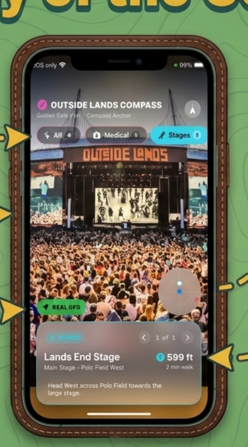
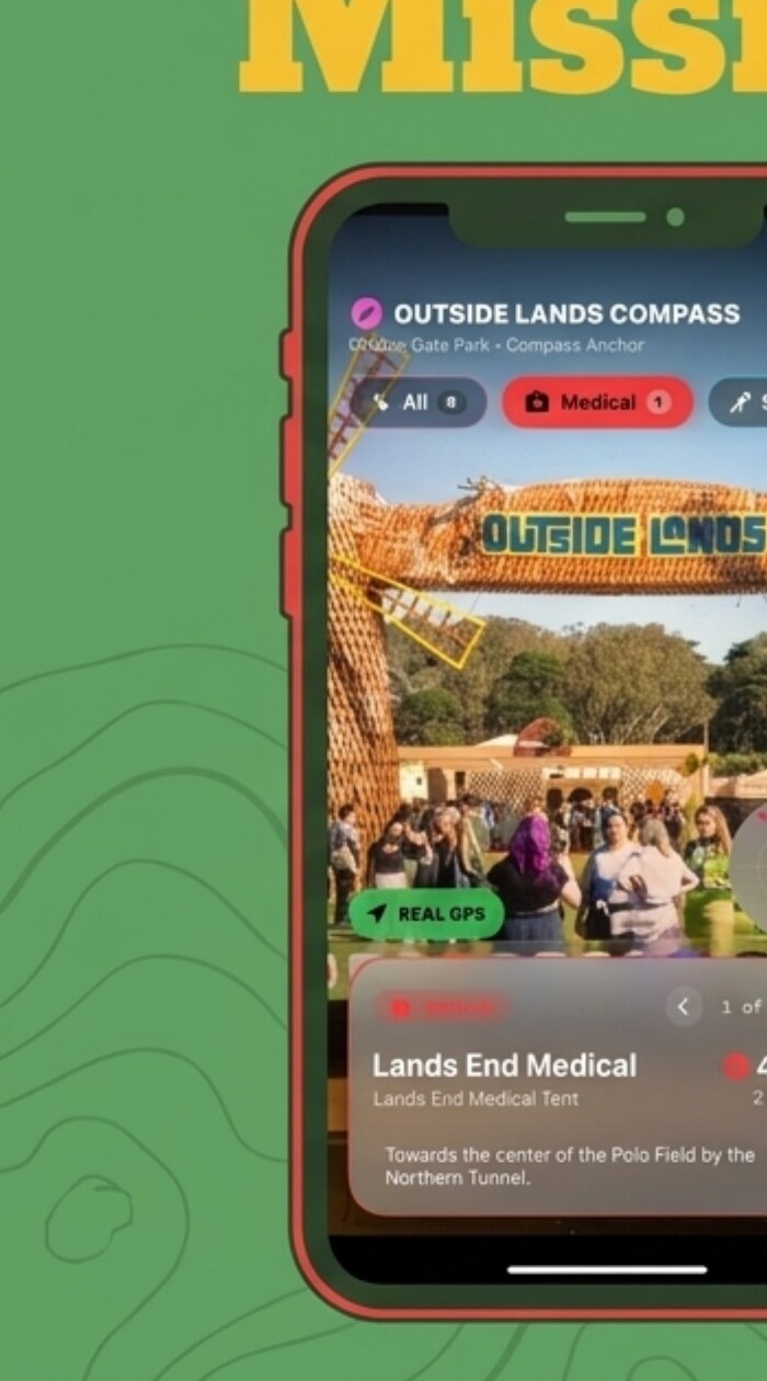
AR camera guidance, a 360° radar, precise distance, walking time, and real GPS anchors move people through the park with confidence.
- Stages and scheduled sets
- Water and restrooms
- First aid and safety
A location-aware navigation layer for Outside Lands—guiding festivalgoers through the physical park and into the digital services, information, and apps that matter exactly where they stand.
THE FIELD PROBLEM
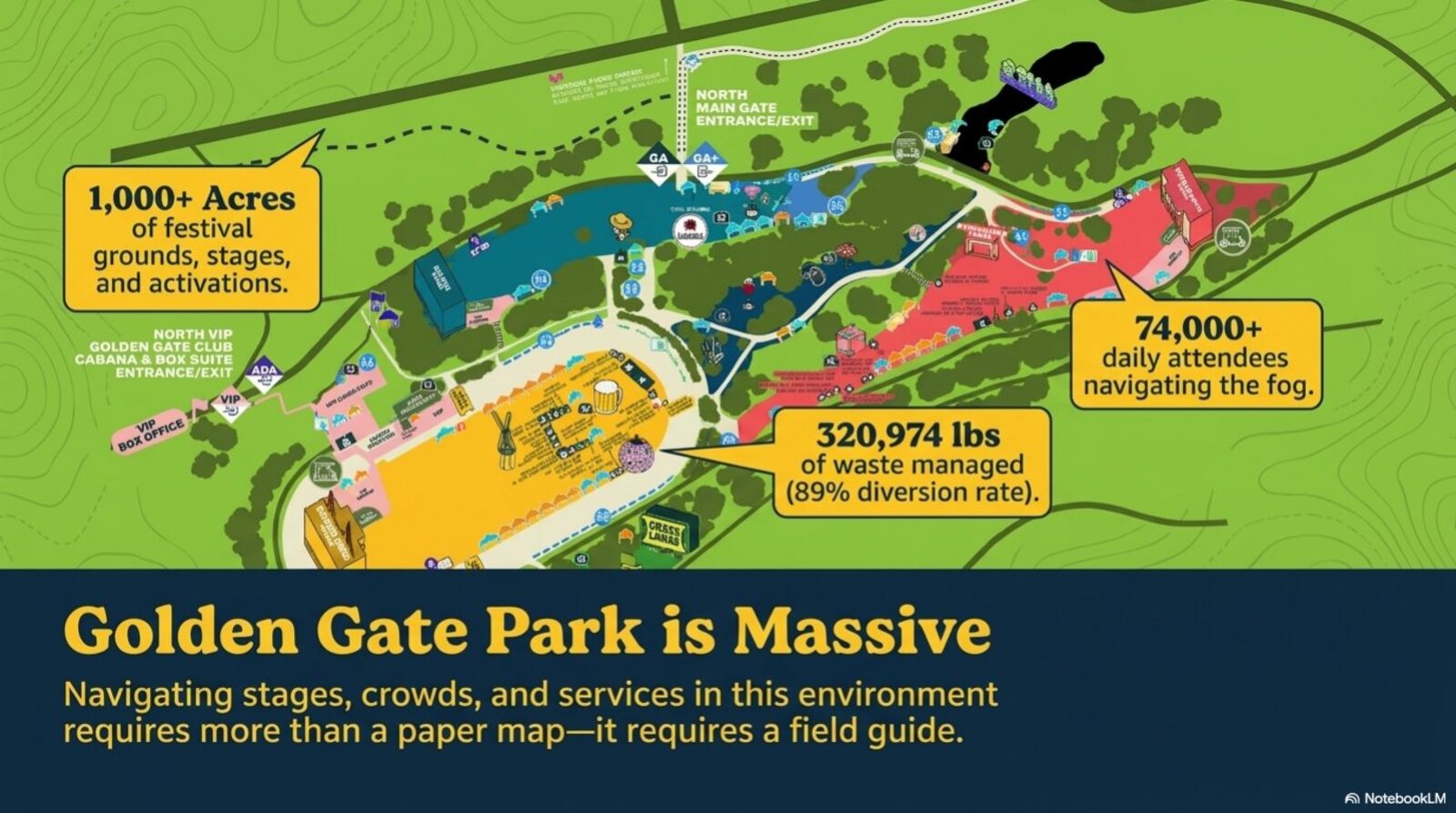
Stages, crowds, services, and a thousand acres of terrain demand more than static orientation. Compass turns the park itself into a responsive interface.
ONE COMPASS · TWO LAYERS
AR camera guidance, a 360° radar, precise distance, walking time, and real GPS anchors move people through the park with confidence.
Location becomes the key to relevant information, services, and connected applications—without hunting through menus.
FIELD-TEST THE IDEA
Select a stage, hold the phone up, and follow an AR path through the crowd. Distance and ETA update as the user moves.
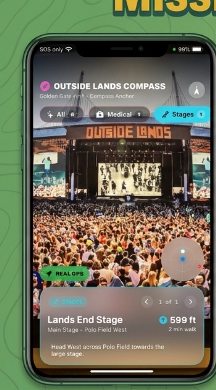
The nearest hydration station is filtered by the user’s actual position—not a generic park entrance or static map pin.
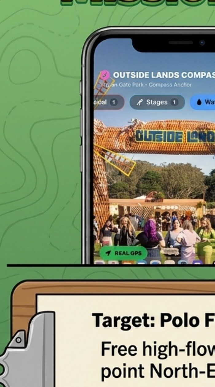
In an emergency, category filtering and immediate visual guidance reduce decisions and route to the nearest staffed medical tent.
THE RANGER’S TOOLKIT
Switch among stages, medical, water, and restrooms without digging through menus.
See the destination layered onto the real festival environment.
Position-aware directions remain centered on the person, not the map.
Track destinations outside the camera’s current field of view.
Exact feet, estimated walking time, and a plain-language next move.
Surface relevant information, services, and app connections by location.
THE APP IN ACTION
A 90-second walkthrough of the working iOS experience—from destination filters to real-time field guidance.
Choose the missionSwitch instantly between stages and medical destinations.
Orient in the crowdUse the camera view, radar, and GPS position together.
Move with confidenceSee the destination, exact distance, ETA, and next instruction.
WATCH THE PRODUCT STORY
Use the videos for a quick tour, or open the full decks for the detailed feature narrative and design rationale.
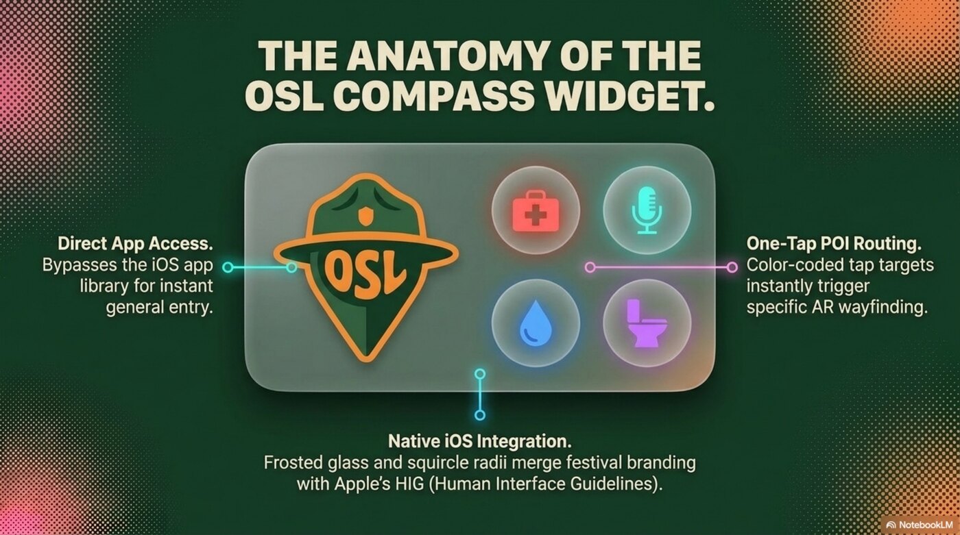
FUTURE ROADMAP · NOT IN CURRENT BUILD
A proposed iOS home-screen shortcut for the festival’s most frequent and urgent destination needs.
CURRENT PRODUCT
11 slides covering the field problem, product anatomy, key missions, and the full situational-awareness model.
Open PDF presentationFUTURE FEATURE
7 slides exploring a native iOS entry point for high-frequency and high-urgency navigation.
Open PDF presentationTOTAL SITUATIONAL AWARENESS
Every relevant destination—music, water, restrooms, medical help, information, and connected services—is a few hundred feet and one screen tap away.
Review the full pitch